User login
Language
Anonymous's groups in this site
User is not a member of any group.
Your groups across all your sites
User is not a member of any group.
Recent Content
Who's online
There are currently 0 users online.
You are here
Fed Flood Maps Left NY Unprepared for Sandy — and FEMA Knew It
Primary tabs
Mon, 2013-12-09 18:31 — Kathy Gilbeaux
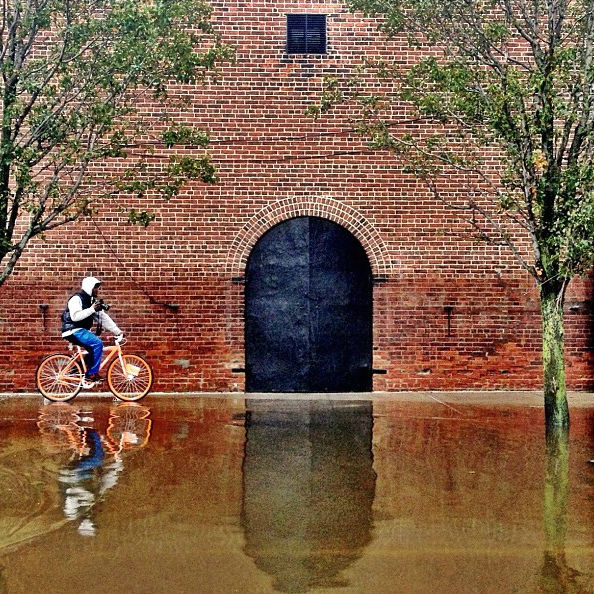
Flooding in Red Hook, Brooklyn after Sandy (Flickr/gunnicool)
The agency ignored state and city officials' appeals to update the maps with better data until it was too late.
wnyc.org - December 6, 2013
by Al Shaw : ProPublica / Theodoric Meyer : ProPublica / Christie Thompson : ProPublica
When Patrice and Philip Morgan bought a house near the ocean in Brooklyn, they were not particularly worried about the threat of flooding.
Federal maps showed their home was outside the area at a high risk of flood damage. . .
. . . But the maps drawn up by the Federal Emergency Management Agency were wrong. And government officials knew it.
Country / Region Tags:
General Topic Tags:
Problem, Solution, SitRep, or ?:
Groups this Group Post belongs to:


Recent Comments