Typhoon / Hurricane / Cyclone
Sun, 2011-08-28 01:42 — admin

PHOTO: Metropolitan Transportation Authority of the State of New York
Sat, 2011-08-27 22:05 — admin
NEW YORK
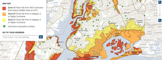
New York City Hurricane Evacuation Zones Map (Click on Map)

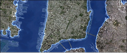
New York (Potential) Storm Surge Risk Map incidating 250,000 residents reside below storm surge level (Click on Map)


Recent Comments