You are here
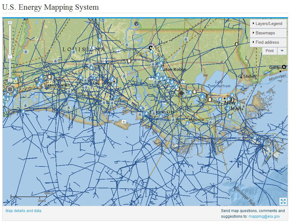
(FOR THE INTERACTIVE MAP - CLICK ON THE MAP IMAGE BELOW)
The U.S. Energy Mapping System shows the web of natural gas pipelines, power plants and refineries that spread across the Louisiana Gulf Coast both on and off shore, an area hit hard by Hurricane Katrina in 2005. Credit: EIA
climatecentral.org - by Bobby Magill - June 12, 2014
Imagine living near the Jersey Shore and a hurricane is barrelling in your direction, or living along the South Platte River in Colorado and an unexpected torrential downpour is flooding the river.
Are there natural gas, oil pipelines or electricity transmission lines that could break and leak in the flood or storm surge? Are oil and gas wells nearby that could flood and leach hydrocarbons into the river?
Those answers can be found online using the U.S. Energy Information Administration's interactive U.S. Energy Mapping System, which shows all the major energy infrastructure for any given address in the U.S.


Recent Comments