You are here

Disaster Management

Primary tabs

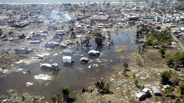
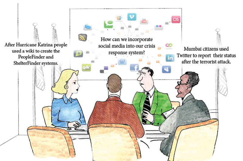
This working group is focused on discussions about disaster management.

The mission of this working group is to focus on discussions about disaster management.

Members

Kathy Gilbeaux Maeryn Obley mdmcdonald

Email address for group

disaster-management@m.resiliencesystem.org

Researchers Use GPS Data to Speed Up Tsunami Warnings


In this Jan. 2, 2005 file photo, a wide area of destruction is shown from an aerial view taken over Meulaboh, 250 kilometers (156 Miles) west of Banda Aceh, Indonesia. Researchers in the United States are hoping to use GPS data to speed up current warnings. (AP Photo/Dita Alangkara, File)

U.S. seismologists currently testing new warning system

by Andrew Pinsent - CBC News - May 5, 2012

Scientists in the United States have been testing an advanced tsunami warning system using GPS data, combined with traditional seismology networks, to attempt to detect the magnitude of an earthquake faster so warnings of potential tsunamis can get out to potentially affected areas sooner.

The prototype is called California Integrated Seismic Network (CISN), and is a collaboration between the United States Geological Survey (USGS) and The Gordon and Betty Moore Foundation, whose focus is on environmental conservation.

Country / Region Tags: 
Problem, Solution, SitRep, or ?: 

Volunteers Creating Change: 6th Annual Disaster Volunteer Conference - May 1, 2012

On Tuesday, May 1, at  one of New York City's premier auditoriums, Pace University's Michael Schimmel Center for the Arts in lower Manhattan, the NYC Citizen Corps Council will be hosting the 6th annual Disaster Volunteer Conference, Volunteers Creating Change.  Enjoy the exhibits, dinner provided by The Salvation Army Greater New York Division, and an educational conference with fellow volunteers.  The conference’s distinguished speakers will include a welcome address by Joseph F. Bruno (Commissioner – NYC Office of Emergency Management), a keynote address by Jeff Parness (Founder and Executive Director – New York Says Thank You Foundation), followed by a panel discussion moderated by Herman Schaffer, MSW (Director, Community Outreach – NYC Office of Emergency Management) with a growing list of panelists, including Gary Bagley (Executive Director – New York Cares) and Sara Farmer (Data Humanitarian – Standy-by Task force, Crisismappers Network, and Ushahidi Community).  For additional information and to register, visit www.NYC.gov/citizencorps.

Increased U.S. Earthquakes May be Caused by Fracking

submitted by Samuel Bendett


Fracking operation in southwest Pennsylvania // Source: trumbullcountygaslease.com

Homeland Security News Wire - April 24, 2012

From 1970 to 2000 the number of magnitude 3.0 or greater temblors in the U.S. mid-continent averaged twenty-one annually; by 2011 the number of such quakes had increased to 134; a new study by the U.S. Geological Survey links the increase of seismic activity to the increase in the use of hydraulic fracturing, or fracking

EVENT - May 3: Crowdsourcing for Disaster & Humanitarian Response (Open Street Map)

Crowdsourcing for Disaster and Humanitarian Response
Thursday, May 3, 2012
9:00 – 10:30 AM
 

Situational Assessment: Federal Emergency Management Agency Region VII’s Use of Google Earth™ with Partner Agency Layers During the 2011 Missouri River Floods

submitted by Samuel Bendett

Date Published:   20 Jan 2012

Publisher:   Lessons Learned Information Sharing

Abstract:  The Federal Emergency Management Agency (FEMA) Region VII Regional Response Coordination Center (RRCC) created a Google Earth™ product to provide situational awareness during the 2011 Missouri River flooding event. The product utilized data from various partners to provide a real-time view of the status of levees. As a result, RRCC and field personnel shared a common operating picture. This Practice Note reviews establishing situational awareness, and the decision to employ Google Earth during the 2011 Missouri River Floods.

https://www.llis.dhs.gov/docdetails/details.do?contentID=54918

Situational Assessment: Federal Emergency Management Agency Region VII’s Use of Google Earth™ with Partner Agency Layers During the 2011 Missouri River Floods (for 6 page .PDF report - see attachment below, or see link above)

Building Resilience in African Nations is Paramount to Development

STUTTGART, Germany - Nancy Lindborg, assistant administrator for USAID's Bureau of Democracy, Conflict, and Humanitarian Assistance (DCHA), addresses staff of U.S. Africa Command, March 30, 2012, as part of the Command Speaker Series. Lindborg talked about USAID's efforts in Africa and discussed how U.S. AFRICOM can better work with the interagency organization to achieve common objectives. (U.S. AFRICOM photo by Danielle Skinner)

submitted by Samuel Bendett

U.S. AFRICOM Public Affairs - by Danielle Skinner

STUTTGART, Germany, Apr 3, 2012 — In developing countries experiencing chronic crises, such as those in the Horn of Africa, disaster risk reduction is often just as important, if not more so, than humanitarian response and recovery, according to a senior official from U.S. Agency for International Development (USAID).

Special Report - Managing the Risks of Extreme Events and Disasters to Advance Climate Change Adaptation (SREX)

28 March 2012

The Intergovernmental Panel on Climate Change (IPCC) released its Special Report on Managing the Risks of Extreme Events and Disasters to Advance Climate Change Adaptation (SREX) on 28 March. The report assesses the evidence that climate change has led to changes in climate extremes and the extent to which policies to avoid, prepare for, respond to and recover from the risks of disaster can reduce the impact of such events. Please click here for an IPCC press release on the report, and here for the report itself.

http://www.ipcc.ch/news_and_events/news.shtml#.T3UOlfXh98F

Special Report - Overview

http://ipcc-wg2.gov/SREX/

Special Report - Press Release (4 page .PDF file)

Global Warming Presents Historic Disaster Risk, Report Says

submitted by Samuel Bendett


Mumbai is among the densely populated cities that scientists say is at great risk. (Photo: Getty Images)

by Seth Borenstein - Associated Press - yahoo.com - March 28, 2012

WASHINGTON — Global warming is leading to such severe storms, droughts, and heat waves that nations should prepare for an unprecedented onslaught of deadly and costly weather disasters, an international panel of climate scientists said in a new report issued Wednesday.

The greatest threat from extreme weather is to highly populated, poor regions of the world, the report warns, but no corner of the globe — from Mumbai to Miami — is immune. The document by a Nobel Prize-winning panel of climate scientists forecasts stronger tropical cyclones and more frequent heat waves, deluges, and droughts.

(READ COMPLETE ARTICLE)

Exercise 24: Using Social Media for Crisis Response

submitted by Samuel Bendett


worldfinancialreview.com - By George H. Bressler, Murray E. Jennex & Eric G. Frost

“Can populations self-organize a crisis response? This is a field report on the first two efforts in a continuing series of exercises termed Exercise 24 or X24. These exercises attempted to demonstrate that self-organizing groups can form and respond to a crisis using low-cost social media and other emerging web technologies.”

(READ COMPLETE ARTICLE)

Country / Region Tags: 
Problem, Solution, SitRep, or ?: 

California Struggling to Prepare Quake Early Warning System

submitted by Samuel Bendett


Workers fix subway lines that were damaged after an earthquake was felt in Mexico City on Tuesday, March 20. (Associated Press / March 19, 2012)

By Hector Becerra and Sam Allen, Times Staff Writers - latimes.com - March 22, 2012

The state spends a fraction of what countries like Mexico and Japan spend on their systems. One reason for the lack of interest, experts say, is that California has not experienced a catastrophic quake in more than a century.

Pages

howdy folks