User login
Language
Anonymous's groups in this site
User is not a member of any group.
Your groups across all your sites
User is not a member of any group.
Recent Content
Who's online
There are currently 0 users online.
You are here
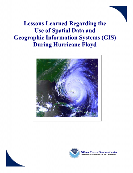
Lessons Learned Regarding the Use of Spatial Data and Geographic Information Systems (GIS) During Hurricane Floyd
Primary tabs
 submitted by Karen Becker
erh.noaa.gov
Executive Summary
Hurricane Floyd, which made landfall along the North Carolina coast on September 15, 1999, was a
devastating and tragic event. The massive size and strength of the storm, combined with significant
rainfall, caused federal, state, and local emergency management personnel along the entire east coast of
the United States to prepare, respond, and, if necessary, recover from the effects of Hurricane Floyd. The
response and recovery activities associated with the storm highlight how advances in technology have
enhanced the ability to deal with disasters.
The hurricane response efforts at the federal, state, and local levels for Hurricane Floyd were the first to
rely heavily on spatial data and geographic information systems (GIS) technology. Compared to previous
hurricanes, many of these response and recovery efforts were carried out more effectively and efficiently
through the use of these tools. Many of the preparedness activities, such as forecasting potential flood
inundation areas and disseminating forecasts, hinged on GIS and the use of Internet mapping applications.
GIS was also used to monitor and track real-time road conditions and damage locations to ensure that
responders could quickly be routed to areas in most need of assistance. During the long-term recovery
phase, satellite imagery was combined with the Federal Emergency Management Agency's National
Flood Insurance Program Digital Flood Insurance Rate Maps and analyzed with GIS to assist with the largest Hazard Mitigation Buyout Program in U.S. history. The "lessons learned" from these and many
other successful uses of spatial data and GIS during Floyd are summarized in this report.
The use of spatial data and GIS during Hurricane Floyd response and recovery activities also helped to
uncover many issues and areas of concern. Some of the issues were related to hardware and software
limitations, such as the lack of proper equipment and storage capacity to handle large spatial data sets.
Interoperability issues arose when trying to share data between various levels of government. Other areas
of concern related to data availability, data limitations, and data acquisition requirements. For example,
proper procedures were lacking for collecting and incorporating damage assessment data into the National
Emergency Management Information System database, which would have ensured easy conversion into
GIS. Some other areas of concern arose when new data sources were utilized for the first time or when
existing data sources were used in new ways. The use of satellite imagery for the first time to map the
extent of flood inundation associated with Hurricane Floyd raised many data acquisition and accuracy
issues.
Several articles, assessments, and "lessons learned" papers have been produced to document the
operational practices of the response and recovery efforts of the emergency management community
during Hurricane Floyd. For example, an assessment of the evacuation effort has been produced in a
Federal Emergency Management Agency and U.S. Army Corps of Engineers publication entitled
"Hurricane Evacuation Study Program: Status Report on Lessons Learned." The National Weather
Service (NWS), a line office of the National Oceanic and Atmospheric Administration, has produced a
report entitled "Service Assessment: Hurricane Floyd Floods of September 1999" to document how NWS
forecasts and products assisted in the response efforts. Several other documents have also been produced
at the state and local levels. This publication focuses specifically on how the use of spatial data and GIS
was, and continues to be, a tremendous asset in the response and recovery efforts. While this report
highlights numerous positive aspects about the use of spatial data and GIS, it also identifies some of the
problems encountered.
Lessons Learned Regarding the Use of Spatial Data and Geographic Information Systems (GIS) During Hurricane Floyd (56 page .PDF file)


Recent Comments