You are here

Maps - US

Primary tabs

This working group is focused on discussions about maps.

The mission of this working group is to focus on discussions about maps.

Members

Hank Rappaport Kathy Gilbeaux mdmcdonald

Email address for group

maps-us@m.resiliencesystem.org

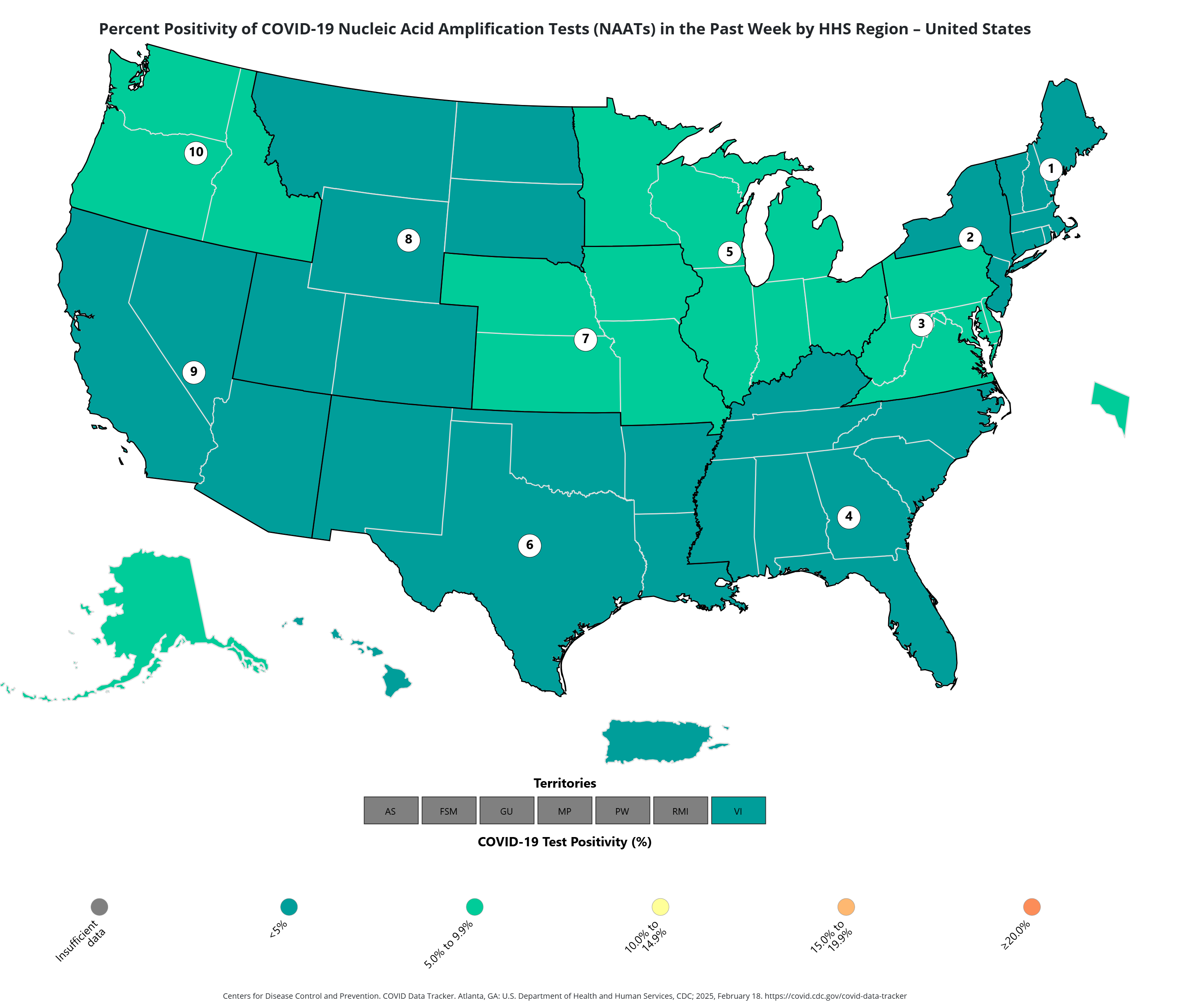
COVID Map Update Describes test results in US States

...

The CDC data also reveals that 1.3 percent of visits to the emergency room around the U.S. were diagnosed as COVID-19 during the same time period, down 0.6 percent from the week before.

Additionally, 1.8 percent of deaths were due to COVID-19, marking a 28.6 percent rise from the week prior.


Country / Region Tags: 
Problem, Solution, SitRep, or ?: 

CDC Map Reveals States With 'High' Wastewater Viral Activity

...

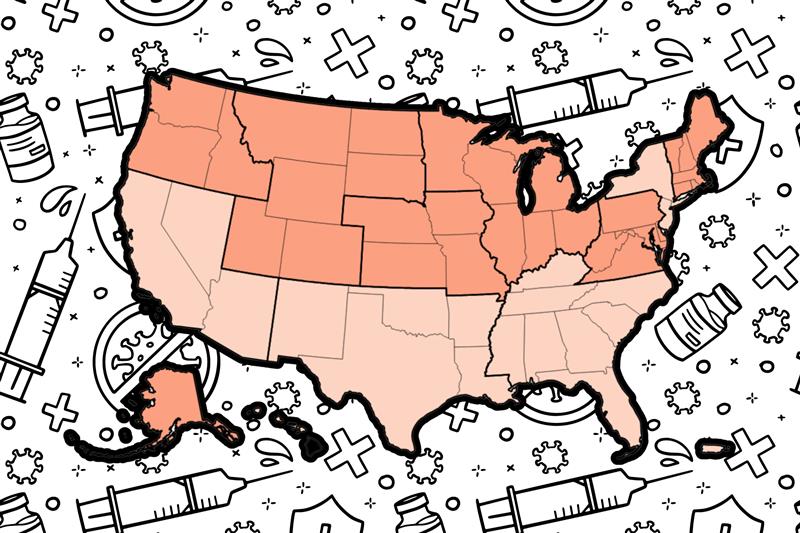
Between December 15 and December 21, the CDC detected "very high" levels of COVID-19 in the wastewater levels of 14 states: Oregon, Montana, Wyoming, Arizona, New Mexico, Oklahoma, Nebraska, South Dakota, Missouri, Minnesota, Kentucky, Pennsylvania, New Hampshire and Massachusetts. The CDC found "high" levels in 14 states: Idaho, Utah, Kansas, Iowa, Arkansas, Wisconsin, Michigan, Indiana, Ohio, South Carolina, Delaware, Connecticut, Rhode Island and Maine.


Country / Region Tags: 
Problem, Solution, SitRep, or ?: 

U.S. COVID Infection Rates Shown in Updated CDC Map

The percentage of emergency department visits that were diagnosed as COVID has remained largely unchanged in recent weeks, at 0.6 percent—with the highest rates located in the Southwest: New Mexico at 1.8 percent and Arizona at 1.5 percent.

Deaths from COVID are highest in North Carolina, with 1.4 percent of deaths attributed to the virus.

California, Michigan, New York and Florida also have higher than average rates of COVID-related deaths, ranging from 1.2 percent in California to 0.6 percent in Florida.

...

Problem, Solution, SitRep, or ?: 

COVID-19 and flu estimated trends in U.S. states --CDC

...

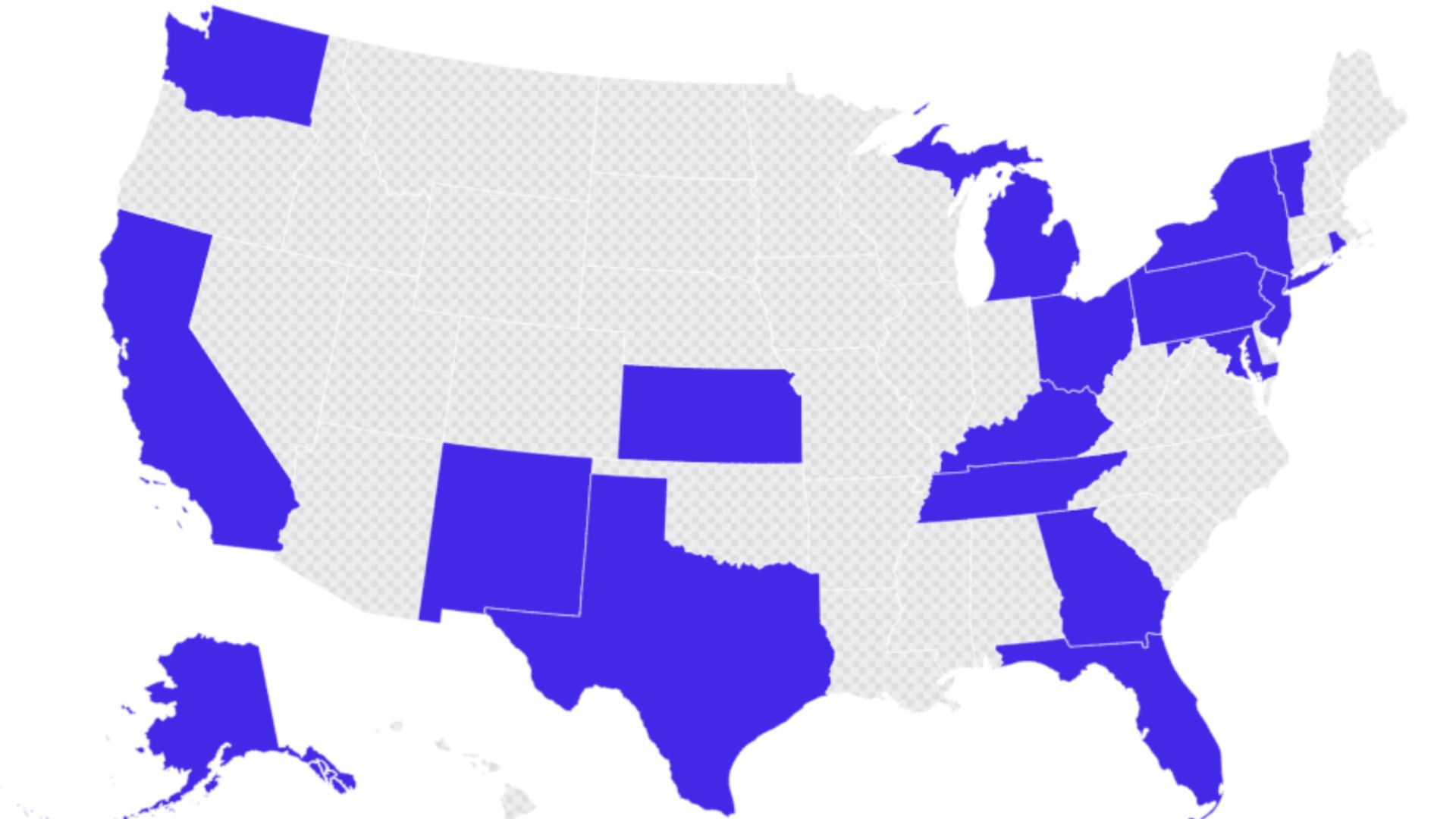
As of November 26, 2024, we estimate that COVID-19 infections are growing or likely growing in 10 states, declining or likely declining in 15 states, and not changing in 22 states....

(Map)

As of November 26, 2024, we estimate that influenza infections are growing or likely growing in 33 states, declining or likely declining in 1 state, and not changing in 8 states.

(map)

Country / Region Tags: 
Problem, Solution, SitRep, or ?: 

Pages

howdy folks
Page loaded in 0.608 seconds.